Open Source Hub for your Drones
Connect to your drones and manage it from one hub.
Supported by
Feature Packed
Management
Manage all your drones and their data.
Realtime
Access telemetry, cameras and data without delay.
Web Application
Interact with your drones from any Desktop Computer or Mobile Device.
Livestream
View camera streams directly from any device.
Location
View and access the live location of your drones.
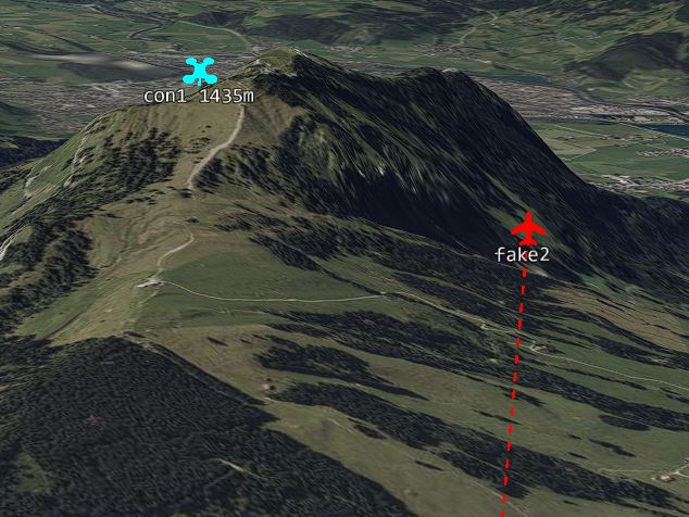
Airspace Awareness
Show other airplanes on an interactive map.
Supported Drones
DJI
Matrice 300
Matrice 350
Matrice 30 / 30T
Matrice 3 D / TD
Matrice 4 E / T
Mavic 3 E / T
Autel
Planned for 2026:
Evo Max Series
Evo Lite Enterprise Series
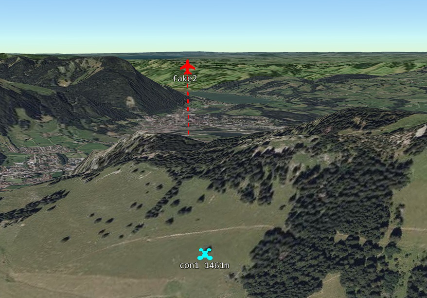
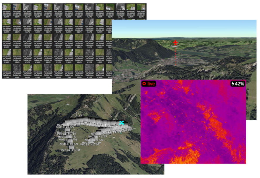
3D Map View
Use the 3D map to simulate a realistic feeling for the mission area.
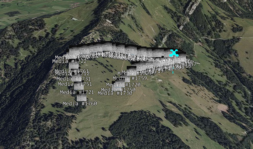
View collected Images, with references
We automatically transfer the captured images from the drone and show it in the web view together with a 3d view that is simulating the cameras view and draw the area that the image covers onto the map.
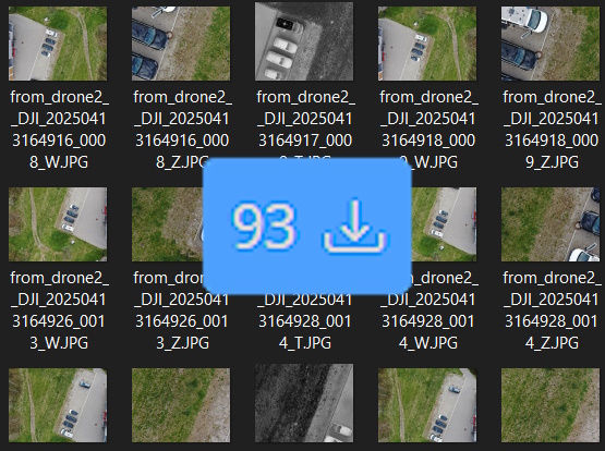
Automatically download captured Images to your computer
Just select a folder to download the images and images will be transferred to your computer within seconds
Get warned about Aircrafts close to you
We integrate ADSB, Flarm data and more from glidernet.org (central europe coverage).
But you can also add your own local receiver (coming soon)
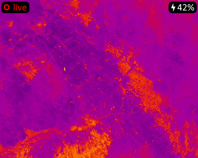
Livestream with ultra-low latency
View a live stream from any device with less then a second latency.
Project Status
Alpha Phase (Dec 24 – Nov 25)
Demonstrate core functionality:
Live Telemetry, Stream, Media Transfer, Map Elements Sync
Publishing Phase (Nov 25)
Cleanup Code Basis
Improve documentation for application and administration
Release application code to public
Beta Phase (Nov 25 – April 26)
Finish core functionality
Demonstrate advanced remote control and mission transfer
Implement Autel drone support